MappsLab: Joyous Learning Through Interactive Mapping
- Location-based learning and problem-solving with the integration and organization of media in the context of place.
- Map-based view of processes toward the collective good & health of personal, local and global communities, empowering individual behavior change and civic engagement.
- Honoring real world relevance and interest to learning across the curriculum with the best learning science (Joy!).
- Use video, photography, writing and other media, with a sense of place to narrowcast your story, no imitators.
Acquired Skills Using MappsLab
- Spatial Literacy
- Media Literacy
- Visual Storytelling
- Location-Based Analysis/ Data Science
- Location as a Common Language
MappsLab: Know Your Place
2024-Lincoln King High School, Cornerstone Schools, Detroit 20-week elective, concepts include
Media Literacy- What is real.
Heritage Mapping- Where were you born, where does your family's Heritage come from (opportunity to invite elders into the classroom to share stories of heritage and place).
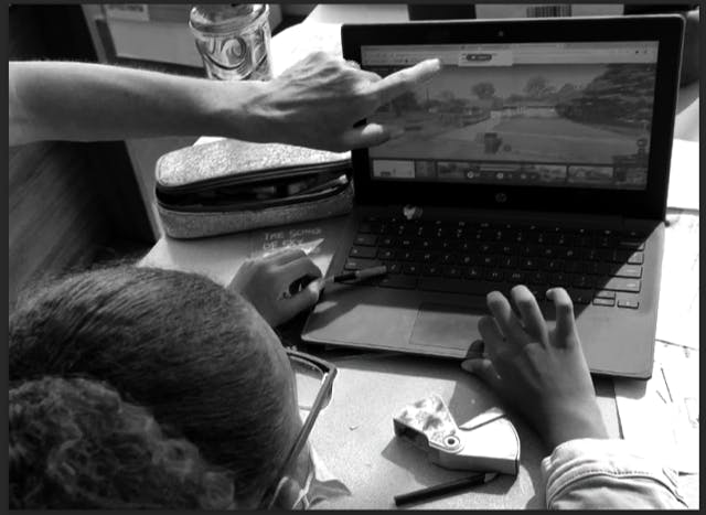
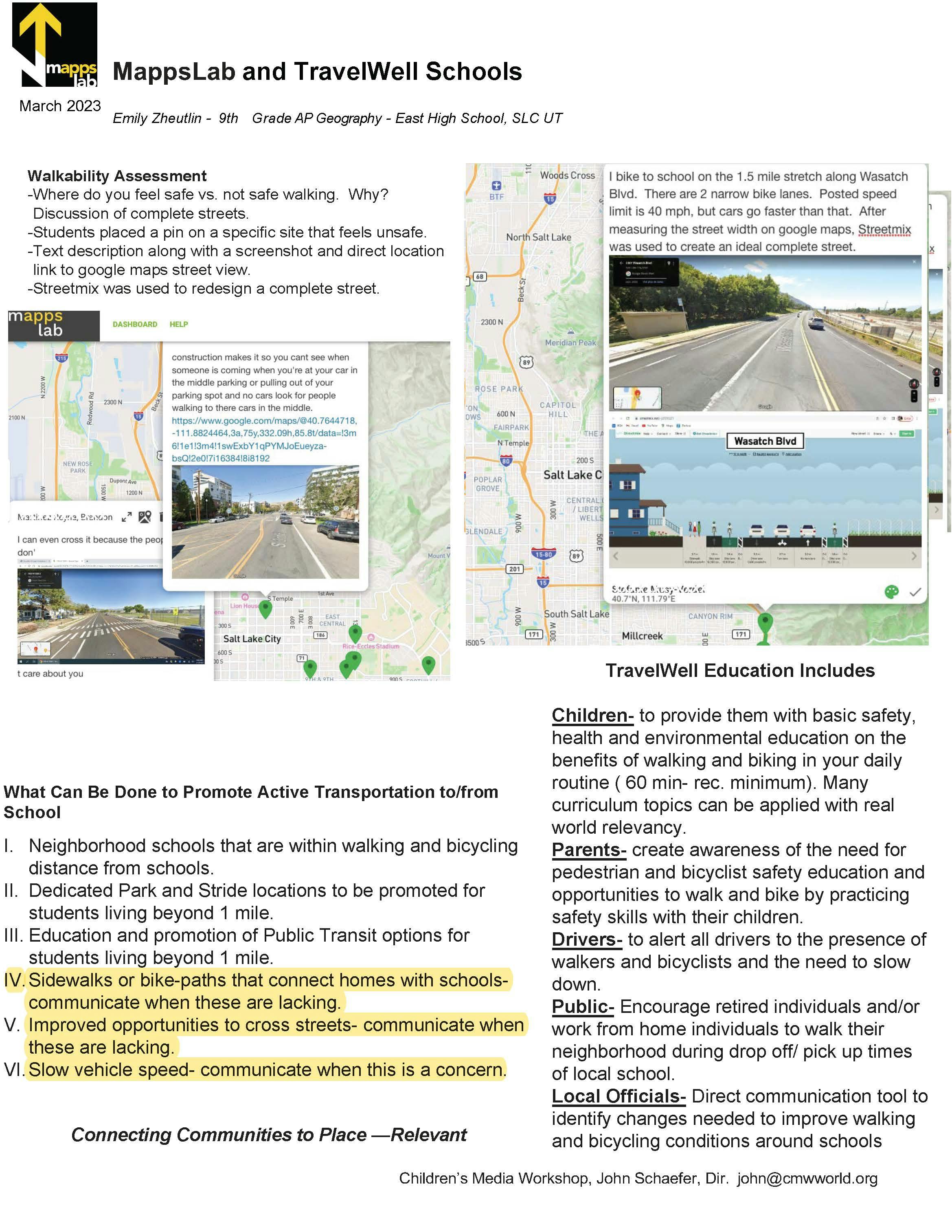
Neighborhood Dialogue including walkability, modes of transport, places of interest, places to gather, places to play. Story of place. Citizen Scientist. TravelWell Schools. Safety (opportunity to lead TravelWell Schools workshops for younger grades)
Discussions on our Built Environment where students explore the foundations, structures, and character of cities while considering their future development.: zoning, land management, complete streets, safe system approach, architecture, plazas, parks, water systems, municipal structures, housing, access to health care/ schools/ jobs, social determinants of health that make location a key factor in our well-being. Social inequity. Mapping real time observations of natural areas. Spatial understanding of Climate Change/ Action and Sustainability.
Global business, Civic Engagement, Economic Development where students learn to view cities as living organisms that have wide-ranging impacts not only on urban residents, but also the population of the world and international markets, movements, and trends. Study the 'where' questions about business. Focus on contemporary city life, urban culture, and urbanization, with emphasis on equality, diversity, inclusion, environmental sustainability and social justice. Students learn processes toward the collective good of communities, local economies and global economies. Map based view of operations and resources. Where does our food and other consumer items come from, what is their travel pattern/ impact/ resources. Urban gardens, community food mapping, food deserts
East High School, SLC
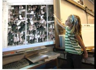
2022- Interactive mapping exercises with ESL program and Geography program
Cornerstone Schools, Detroit- CORE curriculum
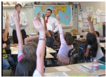
2022-Demonstration where MappsLab was used to adjunct current CORE subjects- day of.
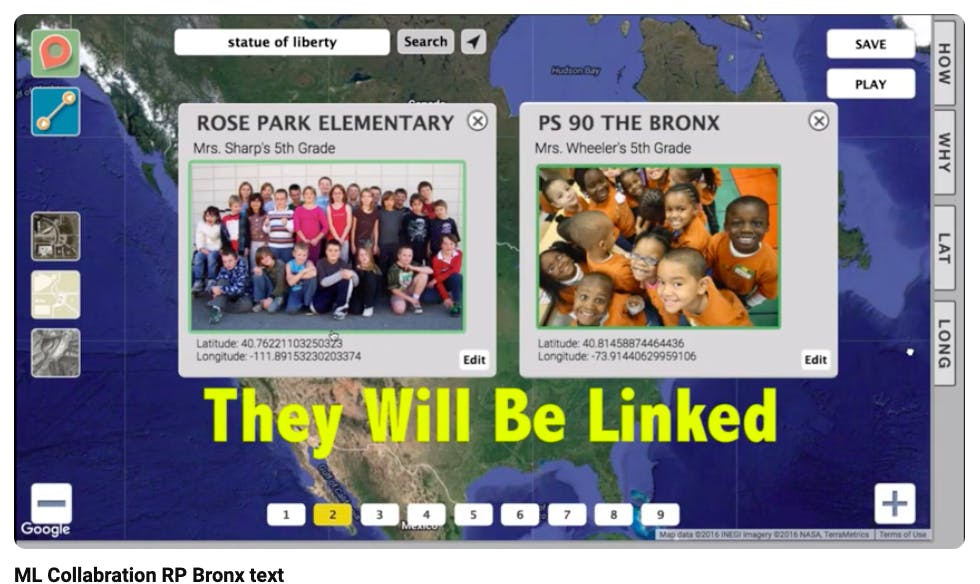
Students Can Work Together across the Globe
2017- Virtual Field Trip exercise with Utah based school and New York based school.
Development of MappsLab
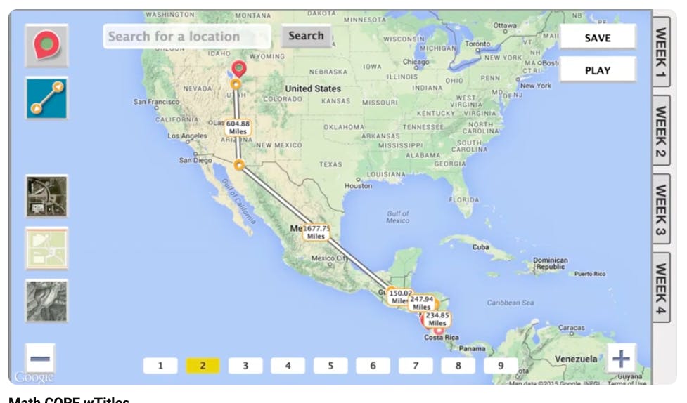
2016- MappsLab and the use of Interactive Mapping is used in the classroom for CORE subjects (ex. Ratios concepts/ Ratio Reasoning. Immigrants Journey)
The Beginning
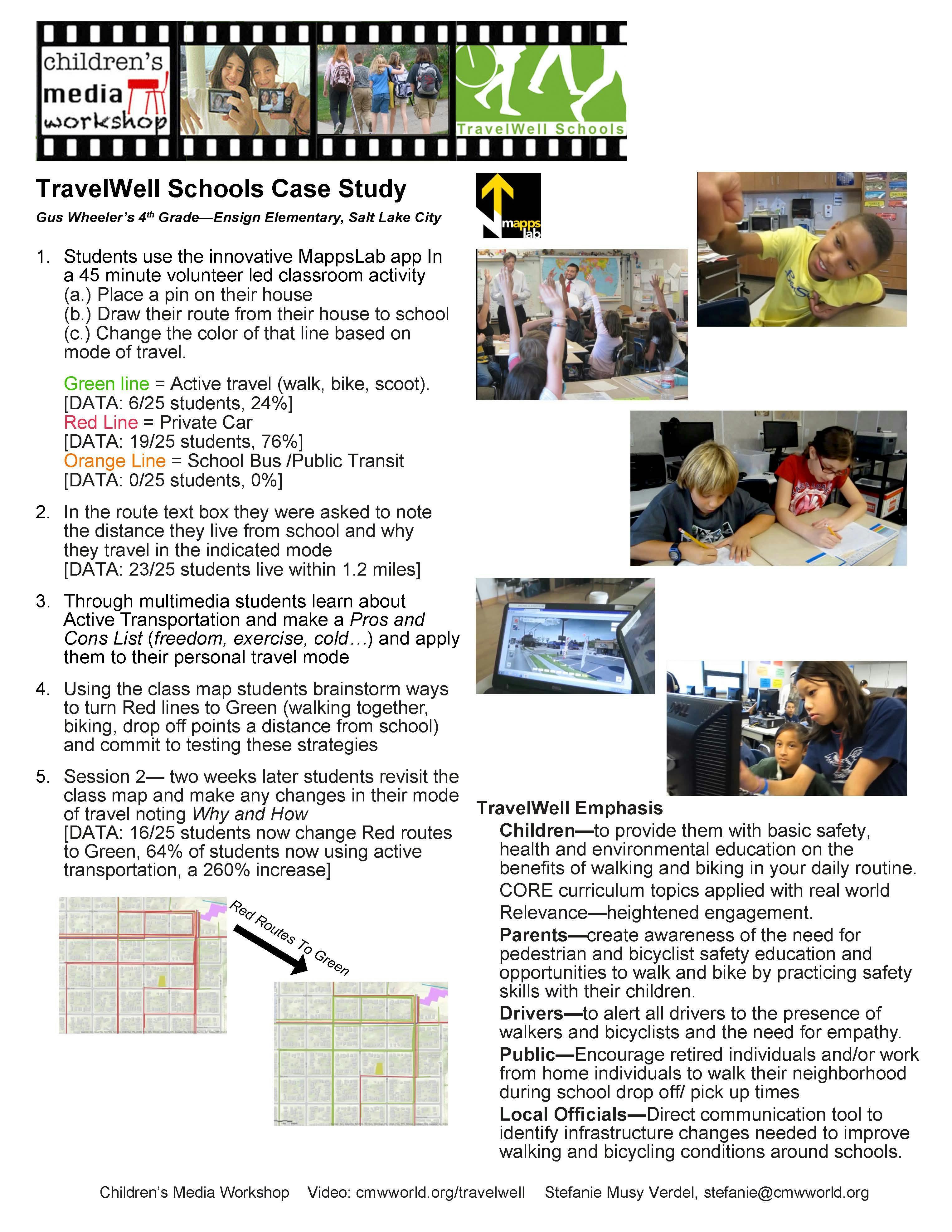
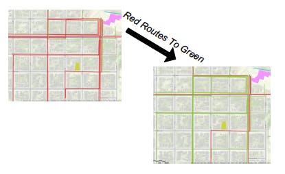
2011: An idea is born when UDOT's TravelWise program partnered with Children's Media Workshop and other community partners in collaboration with Utah schools to empower students and the community to make informed commuting decisions. Part of CMW's TravelWell program uses interactive mapping where students color code their routes to school. Students are informed and encouraged to change red ( private automobile trips) to green (active transportation trips).